
Walletmix Map
Aliases / Related Names: map.walletmix.com • Bangladesh Spatial Intelligence API
Precision cartography, vector map tiles, turn-by-turn routing, and Bangla/English geocoding API.
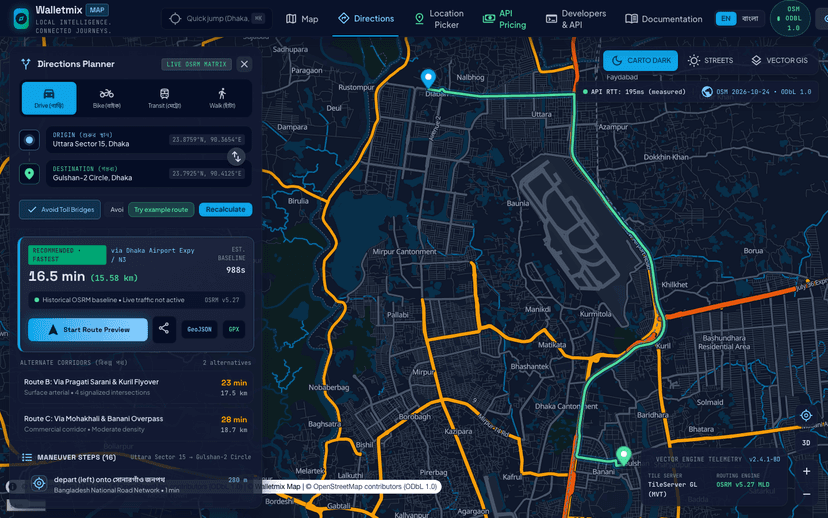
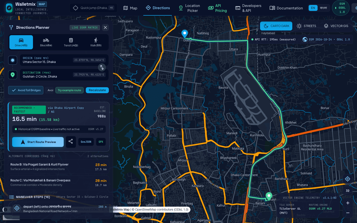
Walletmix Map (live at https://map.walletmix.com) is Walletmix Limited’s geospatial intelligence and cartography platform. Built for ride-sharing, e-commerce logistics, food delivery, civic governance, and field force automation, it delivers WebGL vector map tiles, sub-ward and mahalla-aware Bangla/English forward and reverse geocoding, multi-stop vehicle routing, isochrone service-area calculation, and interactive map SDKs without exorbitant per-request hyperscaler map bills.
Enterprises, institutions, and consumers requiring dependable digital infrastructure
Custom Scope & Milestone Proposal
100% In-House Architecture · Full Lifecycle (Design · Build · 24/7 Operations)
The Challenge
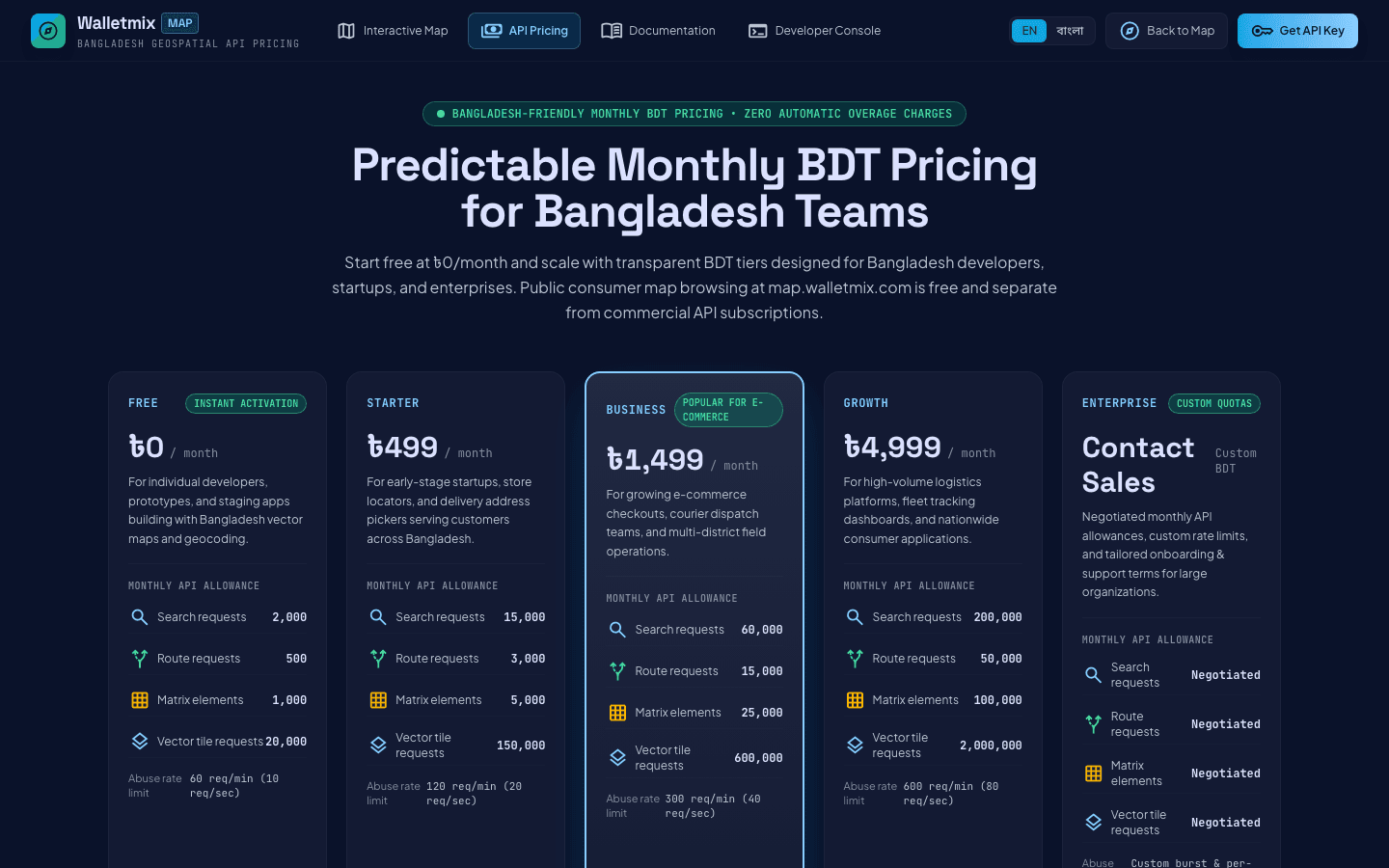
Global mapping APIs charge prohibitive USD fees at scale and often miss localized Bangladeshi sub-areas, holding numbers, bazaar landmarks, and Bangla phonetic search.
The Walletmix Solution
A high-throughput vector tile server and spatial API engine tuned specifically for Bangladesh’s road network, administrative boundaries, and bilingual address search.
Product Modules & Subsystems
Verified functional modules powering Walletmix Map.
Vector Tile Server & Custom Cartography
GPU-accelerated GL vector tiles rendering buildings, roads, waterways, and POIs at 60fps.
Bangla/English Geocoding & Autocomplete API
Fuzzy and phonetic search resolving local mahallas, roads, and landmarks to exact coordinates.
Routing, Distance Matrix & Isochrone Engine
Optimal pathfinding for car, motorcycle, bicycle, and pedestrian profiles across urban traffic.
Key Capabilities
Engineered for real-world dependability, high concurrency, and intuitive usability.
Technology Specifications
Core Feature Highlights
Official Screenshots (3)

Related Walletmix Products
Walletmix Cloud
Walletmix’s flagship cloud infrastructure portal and server control plane providing NVMe cloud instances, domain registration, DNS management, automated SSL, and managed container hosting.
MatrixVTS
BTRC-compliant GPS vehicle tracking and fleet management platform delivering live location telemetry, remote engine immobilizer control, fuel monitoring, and route history playback.
Shobar Dhaka
Digital citizen engagement and smart-city technology enabling residents to report urban issues, track municipal resolutions, and engage with city services.
CityERP
Enterprise municipal administration and smart-city operations ERP powering citizen service delivery, ward engineering workflows, trade license issuance, and municipal asset tracking.
Have an idea like this?
We partner with innovative organizations and domain leaders to design, develop, and operate high-impact digital products.